
Interactive watershed
Type
Requires
Implementation Type
Programming Language
Interaction Level
License/Openness
License
BSD3
Description
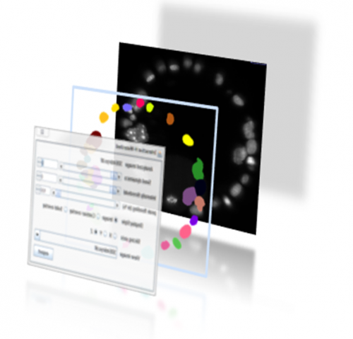
The interactive Watershed Fiji plugin provides an interactive way to explore local maxima and threshold values while a resulting label map is updated on the fly.
After the user has found a reliable parameter configuration, it is possible to apply the same parameters to other images in a headless mode, for example via ImageJ macro scripting.
has topic
has biological terms
Additional keywords
Entry Curator
Post date
10/18/2018 - 10:53
Last modified
10/18/2018 - 11:07